Skip to content
Customize Consent Preferences

We use cookies to help you navigate efficiently and perform certain functions. You will find detailed information about all cookies under each consent category below.

The cookies that are categorized as "Necessary" are stored on your browser as they are essential for enabling the basic functionalities of the site. ... 

Always Active

Necessary cookies are required to enable the basic features of this site, such as providing secure log-in or adjusting your consent preferences. These cookies do not store any personally identifiable data.

Performance cookies are used to understand and analyze the key performance indexes of the website which helps in delivering a better user experience for the visitors.

Agia Fotini

Agia Fotini

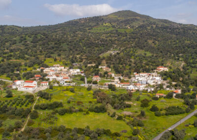
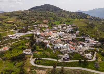
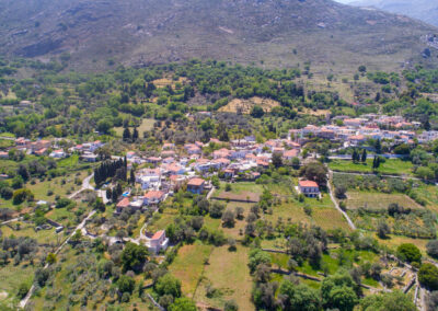
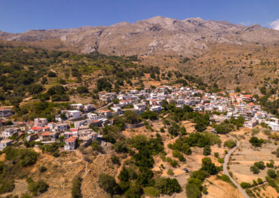
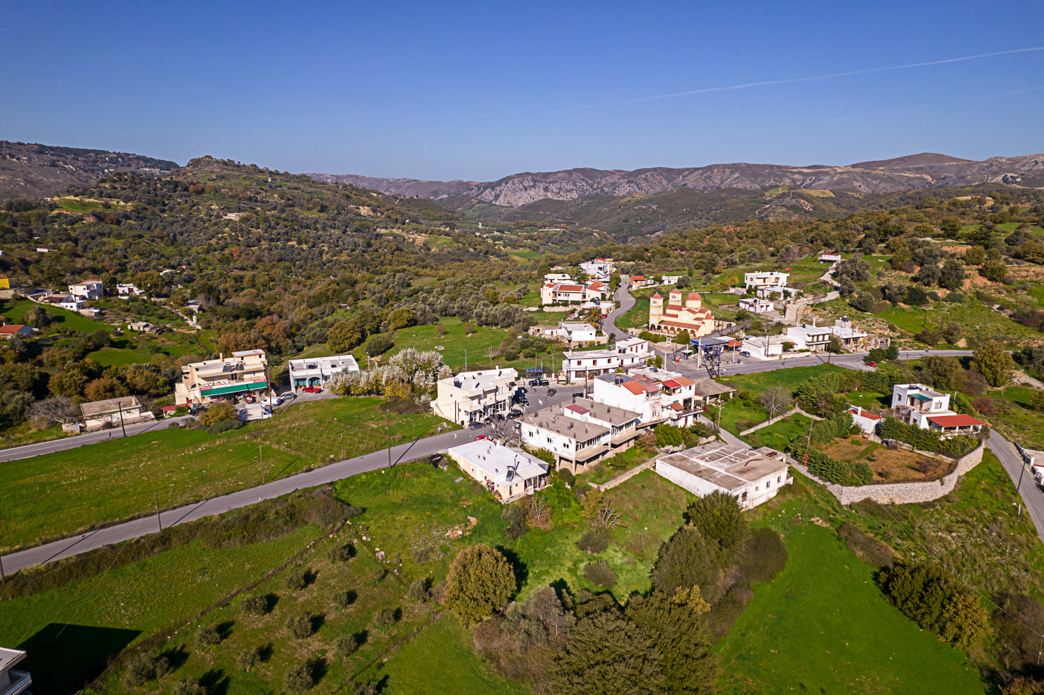
It is the seat of the current Municipality of Amari and is located in the western vicinity of the Apostoloi village, from which it is less than one kilometer away. The settlement of Agia Fotini was established only in the 1950s, on a part of ancient Syvritos, whose acropolis dominated the top of Throniani Kefala hill. Excavations in the village have brought to light its important findings, which date back to the Hellenistic and Roman periods.

In the village, the waters are divided and one part forms the river Stavromana, which ends in the Cretan Sea in the Platanes village. The Amarianos or Platis River, which was thought of as the river of Electra in the ancient years, ends up in Agia Galini, the Libyan Sea. Public services operate in Agia Fotini, such as the Amari Town Hall, K.E.P., and Health Center, as well as small shops, supermarkets, and taverns with traditional food.


Κοινοποίηση σε…

Pannellum 2.5.6
360° Panorama

Loading...

114.4 / 748.5 kB

Location in the map

Photos

Σελίδα 1 από 10
Previous Next

BESbswy